
Lathkill Dale - Peak District Walk
Tuesday 2nd June 2009
With a hot day forecast I made an early start and headed for Lathkill Dale in the hope of finding some shade.
Start: Moor Lane car park (SK 1940 6449)
Route: Moor Lane car park - Bradford Dale - Alport - Conksbury Bridge - Lathkill Dale - Cales Dale - Moor Lane car park
Distance: 8 miles Ascent: 368 metres Time Taken: 3 hours 15 mins
Terrain: Good paths and fields.
Weather: Hot.
Pub Visited: None Ale Drunk: None

The view across the valley to Stanton Moor, from Moor Lane.

Stanton Moor, now easily identified by the mobile phone mast.
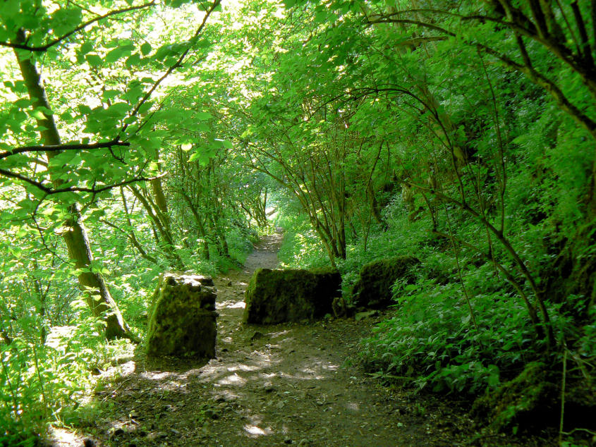
Even this early in the day and walk the shade was much appreciated as I dropped down to Bradford Dale.

Crossing the River Bradford as I reach the floor of Bradford Dale.

Throughout the walk the river banks were overflowing with flowers.

Yellow Flag Iris.

Reflections in the fishing pools.

Looking back along a quiet Bradford Dale.

The footbridge which takes you across the river just below Youlgreave.

Lathkill Dale from Conksbury Bridge.

It's still fairly quiet even in Lathkill Dale but there's not much shade on this part of the walk.

The weirs in Lathkill Dale.

By diverting off the main path I found some remains of Mandale Mine.

The only natural waterfall in Lathkill Dale.

Parson's Crag.

Looking towards Lathkill Head, which wasn't on my route today.

Limestone outcrops in Lathkill Dale from Cales Dale.

Looking across the top of Lathkill Dale after the steep climb out of Cales Dale.

Yellow fields, looking towards Over Haddon, as I approach the car park.
All pictures copyright © Peak Walker 2006-2023